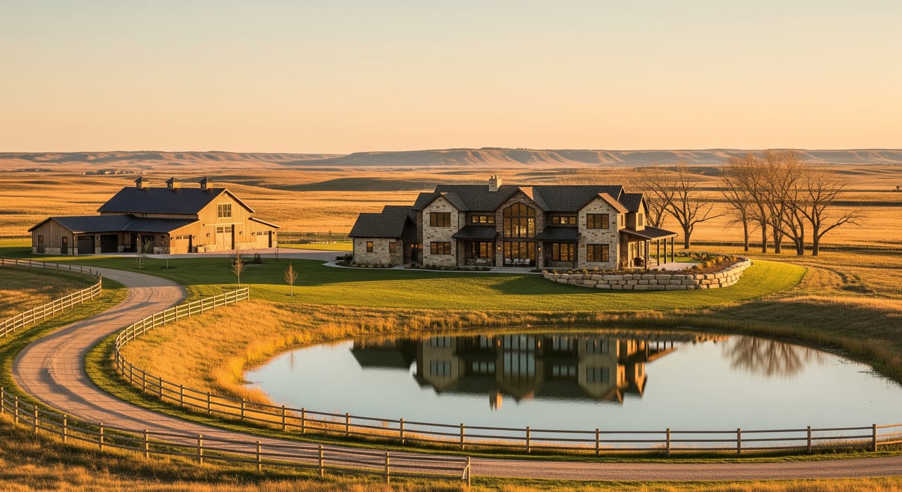
Thinking about building your dream home on a rural lot near Mandan? Before you design the perfect floor plan, make sure you understand the floodplain risk on and around your property. The Missouri and Heart Rivers, spring runoff, and occasional ice jams can change water levels quickly. In this guide, you will learn how to check official maps, what permits and insurance could be required, and how to design a safe, resilient build. Let’s dive in.
Why floodplain risk matters near Mandan
The Bismarck–Mandan area has a long history of river and ice-related flooding. The Missouri River, the Heart River, and local runoff can all create high-water events. Regional operations like Garrison Dam adjust river timing and releases, but they do not remove flood risk. You can explore North Dakota flood basics on the National Weather Service’s overview for the state at weather safety in North Dakota.
Local history shows repeated high-water events around Mandan, including ice and spring floods dating back generations. You can read more context in this Mandan area history summary. For river operations background, the U.S. Army Corps of Engineers explains how Garrison Dam affects downstream flow. The takeaway is simple: maps and conditions evolve, so you should always confirm current flood data and local rules before you build.
Find your lot’s true flood risk
Start with FEMA maps
Begin at the FEMA Map Service Center to see if your parcel sits in a Special Flood Hazard Area, such as Zone A or AE, or in a mapped floodway. The FEMA site explains how to read panels, find Base Flood Elevations, and request map changes if needed. Get started at the FEMA flood map and zone change hub.
Check North Dakota’s NDRAM and BLE
North Dakota’s statewide mapping adds helpful detail where older FEMA maps are limited. The state’s program shows modeled water depths and flood extents that can reveal risk beyond the regulatory lines. Learn more about these tools through the state floodplain management page for North Dakota Water Resources.
Confirm with local officials
Rules can vary by jurisdiction. The City of Mandan requires permits inside city limits and within its extraterritorial area. Morton County addresses unincorporated areas. Review local forms and reach out to staff early using the City of Mandan forms page and the county’s Morton County flood information. A quick call can prevent costly redesigns later.
Permits, lenders, and insurance
When a floodplain permit applies
If your site is in a FEMA Special Flood Hazard Area or a mapped floodway, expect to file a floodplain development permit and meet elevation or floodproofing standards. Local officials use FEMA maps and local ordinances to review plans for foundations, openings, and material choices.
Lender and insurance triggers
If a federally backed lender determines your building location is in a Special Flood Hazard Area, flood insurance is usually required. Policies and escrow decisions are based on current determinations. You can see how lenders and FEMA use maps at the FEMA flood map resource.
Can maps change for my lot?
If your ground is naturally above the Base Flood Elevation, or if you plan to add properly permitted fill and meet standards, you may request a Letter of Map Amendment or Letter of Map Revision. Get timelines and submittal guidance at FEMA’s page for LOMA and LOMR-F. A licensed surveyor or engineer usually prepares the elevation certificate and application.
Design your build to manage water
Elevation and freeboard
Raising the lowest habitable floor to the Base Flood Elevation plus extra margin, often called freeboard, is one of the best risk reducers. Elevation usually lowers long-term damage and can lead to better insurance pricing. Your surveyor establishes finished floor elevation on an elevation certificate.
Foundations, openings, and floodproofing
Foundation choice depends on soils, flood depth, and potential velocity or ice. In many cases, enclosed spaces below elevated floors must include flood openings to equalize pressure. Dry floodproofing is typically reserved for nonresidential buildings and requires engineering. For technical criteria, see FEMA’s guidance on nonresidential floodproofing.
Utilities, access, and septic
Place mechanicals, electrical panels, and fuel tanks above the design flood level. Plan safe access routes and egress elevations so emergency vehicles can reach you. Some areas limit septic systems in flood-prone soils or floodways, so confirm county health and environmental rules through Morton County’s resources.
Step-by-step plan for a rural lot near Mandan
- Map check
- Look up your parcel on FEMA maps. Note the flood zone, any floodway, and the Base Flood Elevation if listed.
- State risk layers
- Review North Dakota’s NDRAM or BLE outputs for modeled depths and extents that may go beyond older FEMA lines.
- Talk to local authorities
- Call the City of Mandan or Morton County to confirm jurisdiction and permit needs. Ask about local freeboard requirements and any recent studies.
- Hire a surveyor
- Get a FEMA Elevation Certificate to compare site grades and planned floor elevations to the BFE. This document is often required for permits, insurance, and LOMA requests.
- Evaluate options if mapped in a flood zone
- If natural ground is above BFE, consider pursuing a LOMA. If you plan to add fill, discuss whether a conditional map revision is needed before construction.
- Design and submit
- Choose a foundation, set finished floor and utility elevations, and include required flood openings or flood-resistant materials. Submit your floodplain development permit before starting work.
- Coordinate with lender and insurer
- Get early quotes, understand potential escrow needs, and plan for timelines while any LOMA or LOMR is under review.
- Explore technical help and funding
- In some situations, programs can help with mitigation or recovery. Learn about USDA’s Emergency Watershed Protection and stay tuned to state or county resources for guidance.
Local contacts and resources
- FEMA Map Service Center and LOMC guidance: FEMA flood maps and zone changes
- North Dakota state mapping and floodplain program: Water Resources floodplain management
- City permits and floodplain forms: City of Mandan forms
- County flood information and alerts: Morton County flood info
- River operations background: USACE Garrison Dam
If you want a second set of eyes on a rural lot’s flood potential, or help coordinating surveyors, engineers, and permits, reach out. With deep local experience in new construction and development, Patrick Koski can guide you through the details so you build with confidence.
FAQs
What is a Special Flood Hazard Area near Mandan?
- It is a FEMA-mapped area with a 1 percent annual chance of flooding where permits and building standards typically apply, and lenders often require flood insurance.
How do I know if a floodway crosses my rural lot?
- Check your FEMA map panel and talk with local staff. Floodways are shown as hatched areas and carry stricter limits on fill and new structures.
Do I need flood insurance in Zone X outside Mandan?
- It is usually not required by lenders, but flooding can still happen. Many owners buy a preferred-risk policy for protection.
How long does a Letter of Map Amendment take?
- If your data are complete, FEMA often issues determinations within a couple of months, with faster options for eligible eLOMA submissions by professionals.
What building changes lower flood risk most on rural lots?
- Elevating the lowest floor above the Base Flood Elevation, placing utilities higher, and using flood-resistant materials below the design flood level offer strong protection.